
CONSTRUCTION GUIDE
5 Uses for Drones in Construction Site Management
Five ways to use drone imagery and survey data for construction planning, inspection, environmental records and progress reviews.
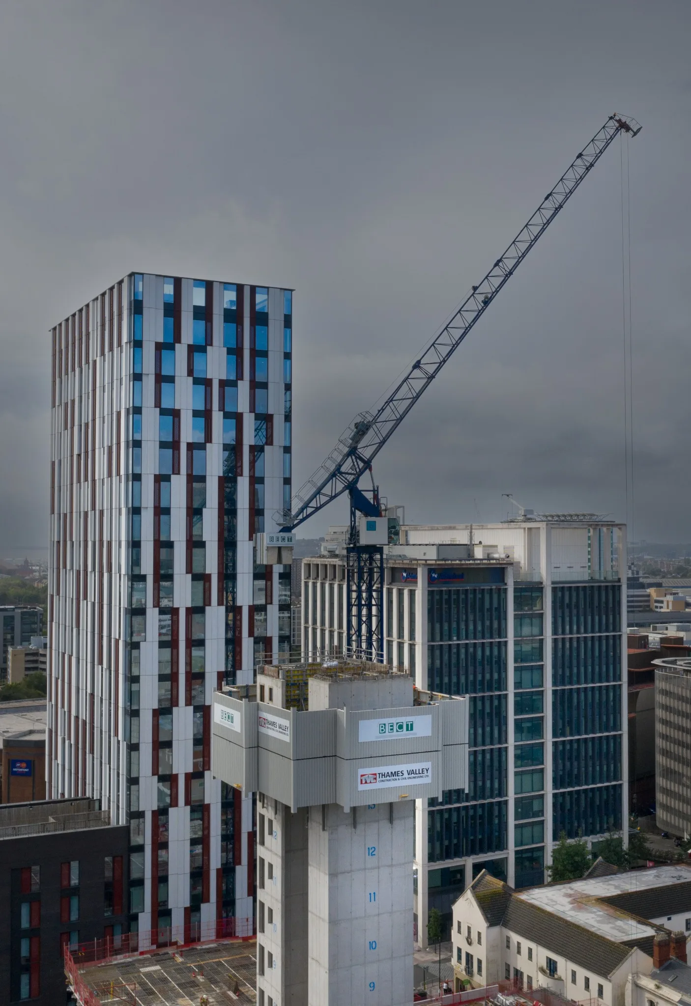
Discuss your survey ↗Construction progress imagery.
1. Survey and map the site
A baseline orthomosaic can show site layout and access. If dimensions, levels or quantities will inform a decision, specify the required accuracy and controls before capture.
2. Inspect hard-to-reach features
Close imagery can help a specialist review roofs, façades and elevated structures and decide where to investigate further. Agree the features and image references that the reviewer needs.
3. Document environmental context
Dated imagery can record visible changes near boundaries, watercourses or sensitive areas for the project’s appointed environmental specialists. Aerial records can support their assessments.
4. Show the site in context
Oblique photographs can explain how the works relate to access routes, neighbouring buildings and the wider development. Agree the intended audience and which views may be shared.
5. Track construction progress
Capture repeat views at agreed intervals or milestones so the team can compare dates. Keep the viewpoints and file references consistent where feasible and use fixed cameras for more frequent capture between visits.
Related services
Tell us about the brief.
Share the site boundary, programme and the questions your team needs the imagery to answer.
Contact Global Drone Surveys ↗