
MARITIME GUIDE
Drone Ship Inspections and Surveys
How aerial imagery can support visual condition reviews of accessible ship surfaces and structures.
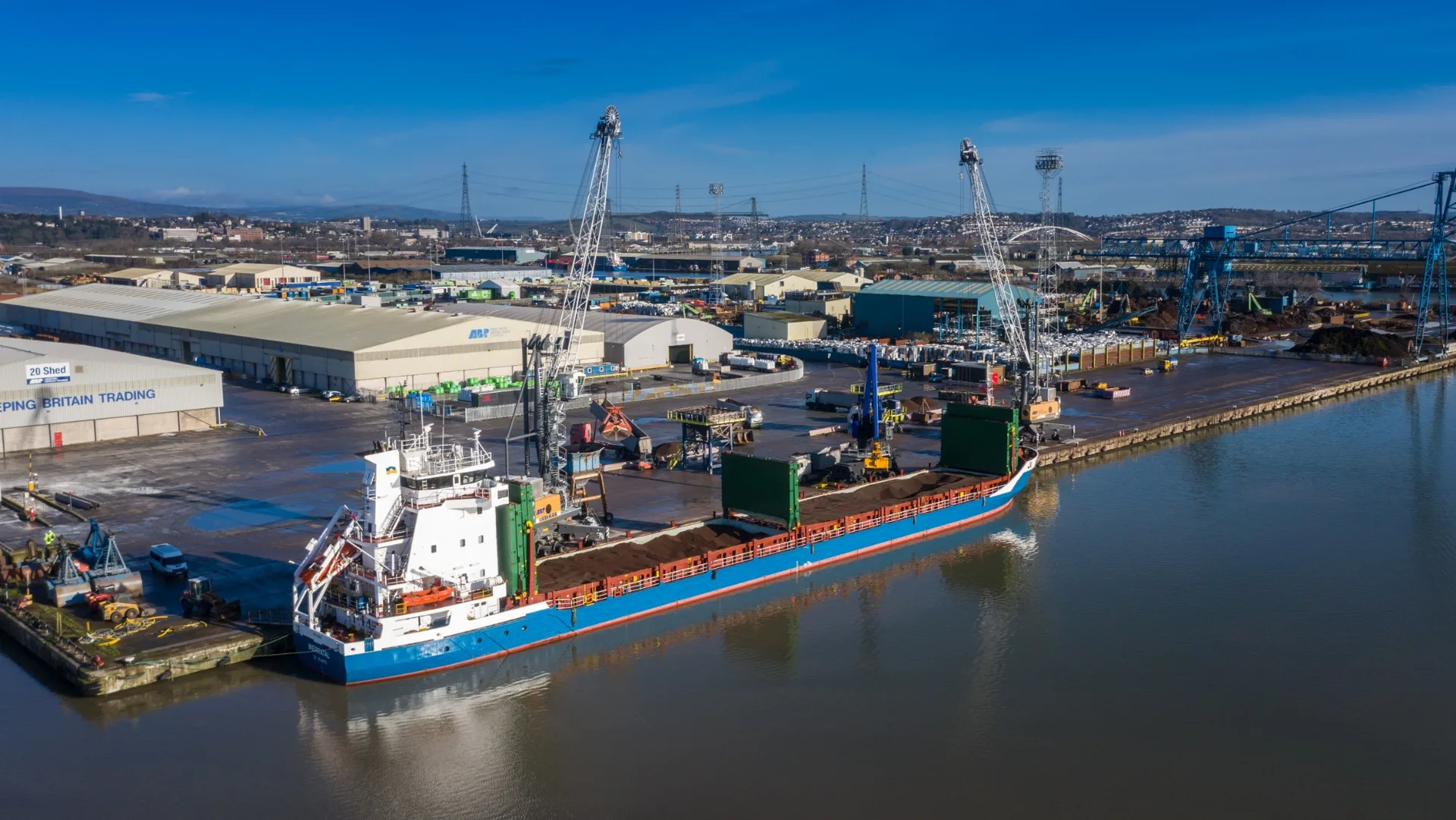
Discuss your survey ↗Cargo vessel and port infrastructure shown for context.
Record accessible external surfaces
Aerial imagery can document agreed parts of a vessel such as topsides, exposed steelwork and elevated features. Close images can support a review of dents, coating loss or staining when the surfaces are visible.
Agree the location and condition references
Plan with the vessel and port teams around access, vessel movements, weather and site rules. Use named locations or vessel drawings to reference observations so the maintenance team can find them again.
Combine the images with specialist review
Specify the views, file formats and limitations in the handover. Use the imagery to support maintenance or follow-up inspection decisions alongside any required survey and testing.
Related services
Tell us about the brief.
Share the vessel, berth or yard location and the parts you need to inspect.
Contact Global Drone Surveys ↗