Asset-referenced photographs
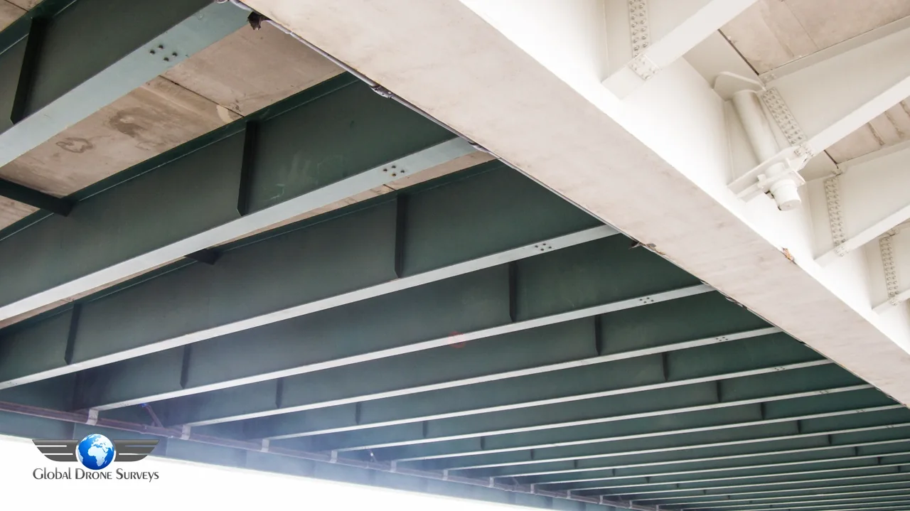
Detailed photographs organised by structure, elevation or asset identifier, with agreed video views where useful.
GLOBAL DRONE SURVEYS / UK-WIDE
Clear aerial inspection records for industrial facilities, infrastructure and difficult-access assets across the UK. Give engineers and asset managers the visibility they need to plan maintenance, review condition and investigate areas of concern.
Request a tailored quote ↗01 / THE RIGHT INFORMATION
Drone industrial inspections provide external views of structures that can be difficult to reach. From bridges and towers to industrial chimneys and plant structures, we agree the assets, viewpoints and reference system so your technical team can review the imagery against its inspection priorities.
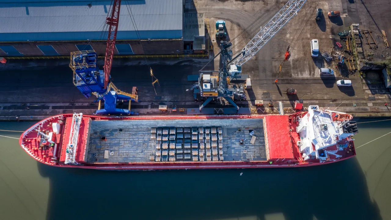
For vessels, berths and terminal operations, explore our maritime and port drone surveys.
01 Bridges, towers, masts and external structures
02 Industrial plant, utilities and port facilities
03 Infrastructure corridors and renewable energy sites
Reduce unnecessary exposure at height, make inspection records easier to review and direct follow-up investigations towards visible areas of concern.
02 / CAPTURE & METHODS
We coordinate with the asset owner on operating windows, restricted areas, moving plant and any isolation requirements. Pre-flight planning includes site assessment, airspace review and appropriate permissions. Risk assessments and method statements can be provided where required for client records.
Drone imagery supports engineering review; it does not replace statutory inspections, non-destructive testing or structural certification. Safe access, visibility and operational restrictions may limit coverage. Thermal patterns require suitable capture conditions and qualified interpretation before conclusions are drawn.
03 / FROM BRIEF TO DELIVERY
Identify assets and the decisions the imagery must support.
Coordinate site controls, permissions and operational windows.
Capture agreed views while observing site restrictions.
Check coverage and organise images against asset references.
Deliver the agreed records for your technical team.
04 / YOUR DELIVERABLES
Detailed photographs organised by structure, elevation or asset identifier, with agreed video views where useful.
Image references and marked observations to support engineering review and maintenance discussions.
Dated visual records for tracking visible change and supporting asset management. Additional mapping or thermal outputs are specified separately.
INSPECTION DETAIL / REPORTING EXAMPLES
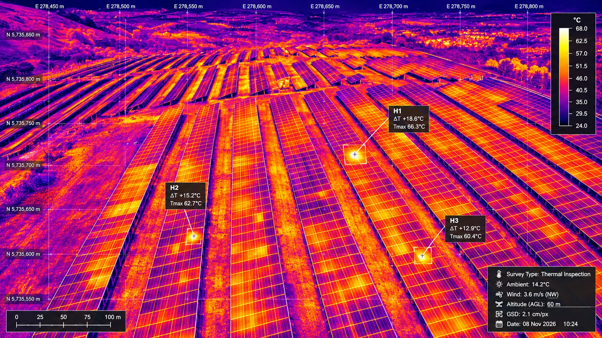
Visual and thermal outputs answer different questions. The capture method and interpretation must match the asset and the maintenance decision.
 View full image ↗
Thermal capture may highlight temperature differences for follow-up; it does not establish an electrical fault on its own.
 View full image ↗
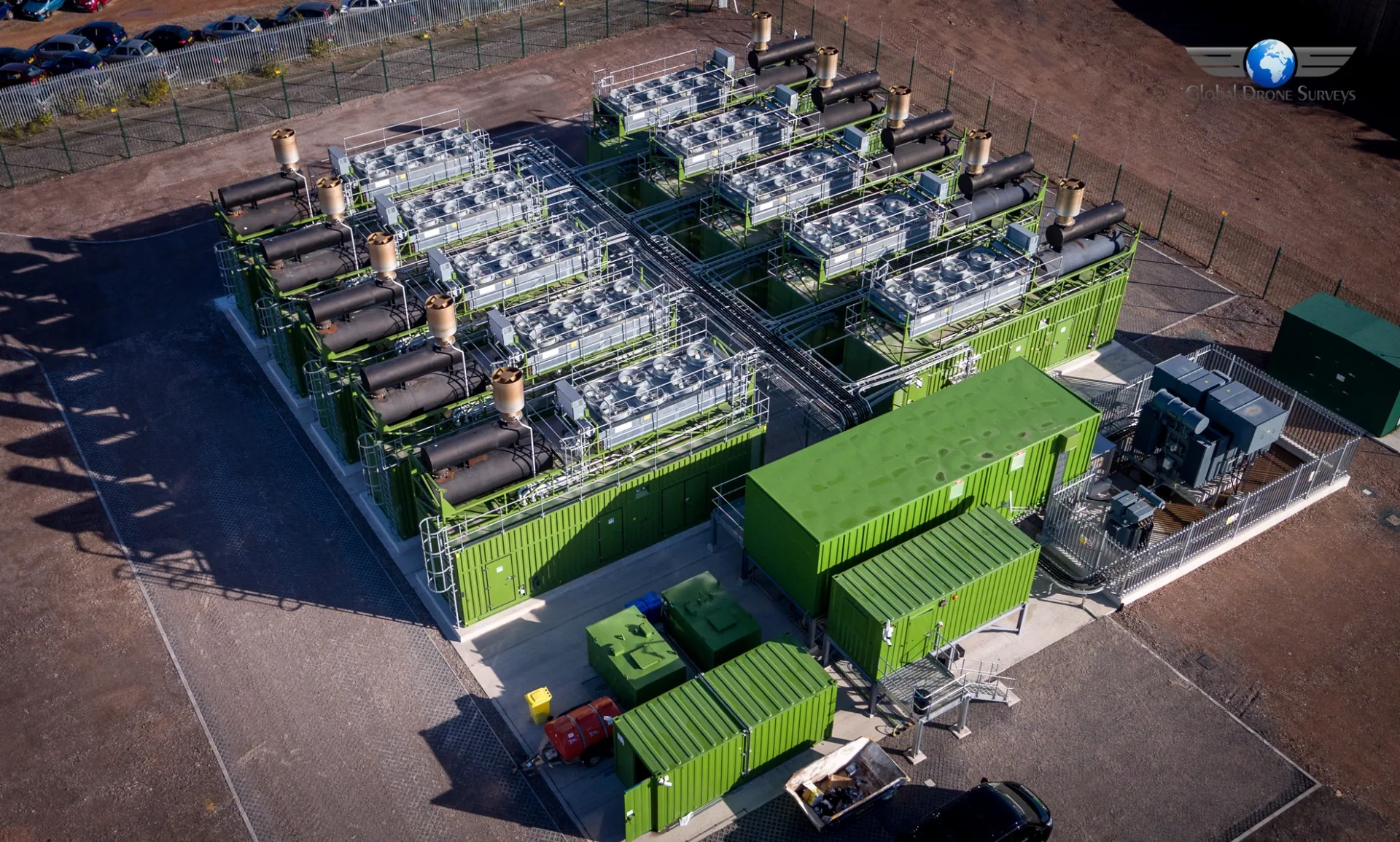
Site-wide views help asset teams understand the location and surroundings of the structures being inspected.
The thermal graphic is a presentation example. For solar arrays, explore the dedicated renewable energy service. Measurements, coordinates, condition labels and temperature readings shown are not validated survey findings or a statement of guaranteed accuracy.
PLANNED, REVIEWED, DELIVERED
Send the site location, asset register or drawings, areas of concern and access restrictions. Agree how images should be referenced so they fit your maintenance or engineering workflow.
We review airspace and site constraints, coordinate with your team and plan the required permissions and operating procedures. Capture and delivery are agreed around the inspection brief.
Explore drone mapping and 3D modelling for spatial outputs, or construction progress drone monitoring for scheduled project records.
Discuss your asset inspection ↗PROJECT EXPERIENCE
London / Bromley-by-Bow
3 days · 6,000+ images
05 / USEFUL ANSWERS
Share your site location and objectives for advice specific to your project.
Potential applications include bridges, towers, masts, external plant structures, port assets, utilities and renewable energy sites. Suitability is assessed for each asset, its surroundings and the inspection objective.
Where safe and feasible, yes. We coordinate with the site team on hazards, access, operating windows, inductions and safe systems of work. Some assets may require an isolation or a different inspection method.
Aerial capture can reduce the need for people to access exposed locations for visual checks. Physical access may still be required for testing, specialist assessment and remedial work.
Thermal capture can be scoped for suitable solar and renewable energy assets. Operating state, weather, irradiance and viewing conditions affect the result. Apparent hot spots need technical review and may require on-site electrical testing.
No. Images document visible condition and support your engineering specialists. They do not replace structural analysis, statutory inspection or non-destructive testing.
Yes. Repeat viewpoints and consistent asset references can be agreed to help compare visible condition over time. Access and site changes are reviewed at every visit.
We agree file formats, authorised recipients and delivery requirements with you. Organised images and reporting packages can be supplied through secure download, with other arrangements discussed where needed.
Cost depends on asset numbers, dimensions, location, airspace, site controls and the required outputs. An asset list, drawings or reference photographs help us define a practical quotation.
Yes, subject to site feasibility, permissions and scheduling. Send your location, asset list, inspection questions and required timescale for an initial review.
CONNECTED SERVICES
YOUR NEXT PROJECT
Send your location, objectives and timescale. We’ll help define the right scope.
Discuss your project ↗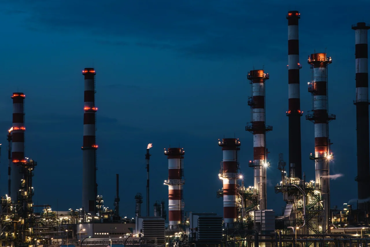
For a sector-specific brief, explore visual coverage and deliverables for tanks, process structures and controlled sites.
Oil & gas drone inspectionsRefinery.