
Solar farm visual surveys
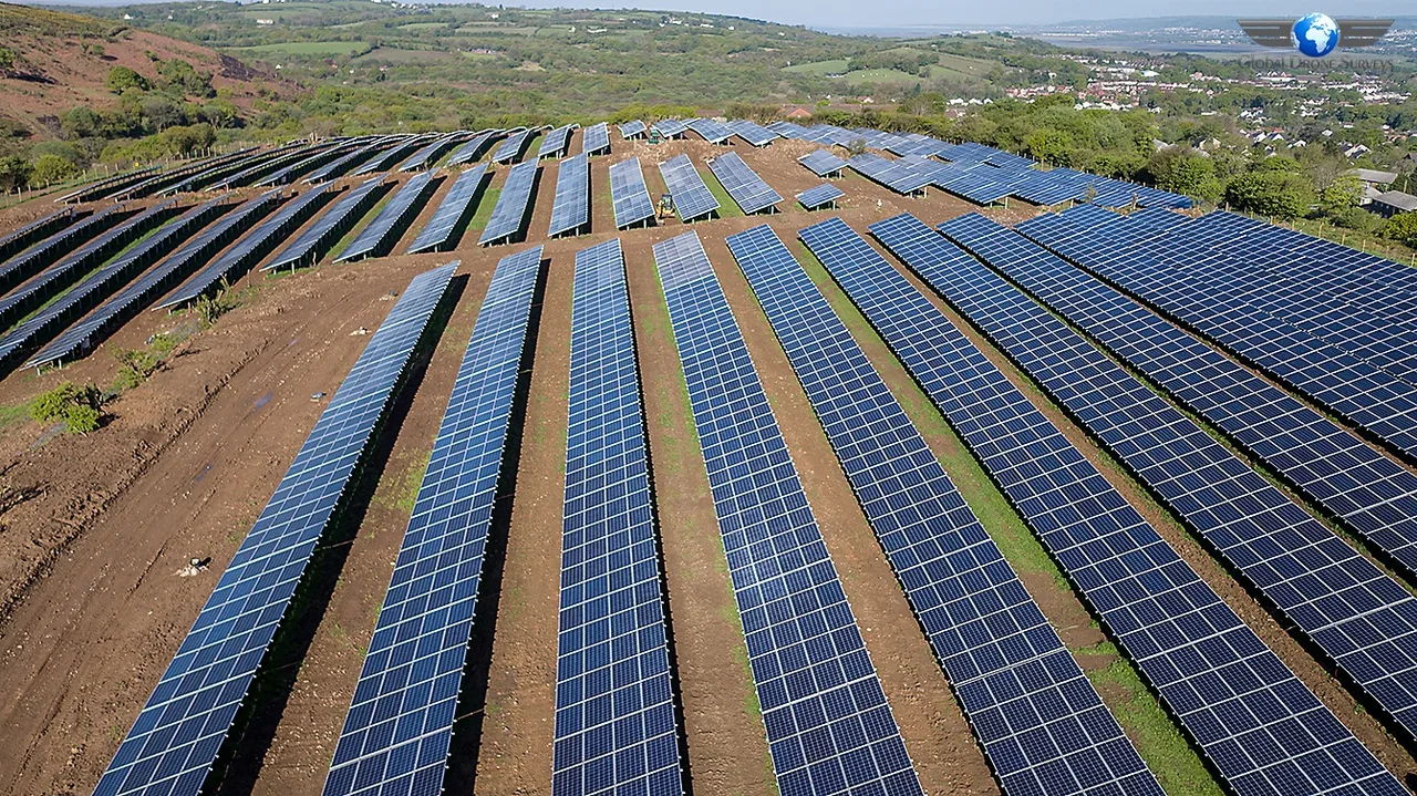
High-resolution aerial photographs of arrays, rows, visible panel condition, vegetation and surrounding site features, organised around agreed references.
RENEWABLE ENERGY / UK-WIDE
Visual, mapping and thermal drone surveys for solar farms and renewable energy assets. Give asset managers and technical teams a structured aerial record for inspection, maintenance planning and project documentation.
01 / SOLAR FARM SURVEYS
Aerial capture can cover large solar installations efficiently and organise imagery around blocks, rows or other agreed references. The brief defines whether the priority is site context, visual condition, mapping, thermal patterns or a combination.
Global Drone Surveys plans renewable energy work around the asset, operating conditions and the decisions your team needs to make. Drone data supports inspection and maintenance; it does not replace electrical testing or specialist engineering assessment.
For a solar farm inspection quotation, provide the site boundary, array layout, inspection objective and any asset references used by your maintenance team. We agree coverage and reporting before capture.
02 / RENEWABLE ENERGY CAPABILITIES
High-resolution aerial photographs of arrays, rows, visible panel condition, vegetation and surrounding site features, organised around agreed references.
Radiometric or presentation thermal imagery can be scoped where equipment, operating state and environmental conditions support the inspection objective.
Orthomosaic and site-reference outputs can support array planning, documentation and GIS workflows. Accuracy and file requirements are confirmed before capture.
Dated imagery and consistent references can help maintenance teams compare visible or thermal patterns between agreed survey visits.
03 / SOLAR SURVEY IMAGERY
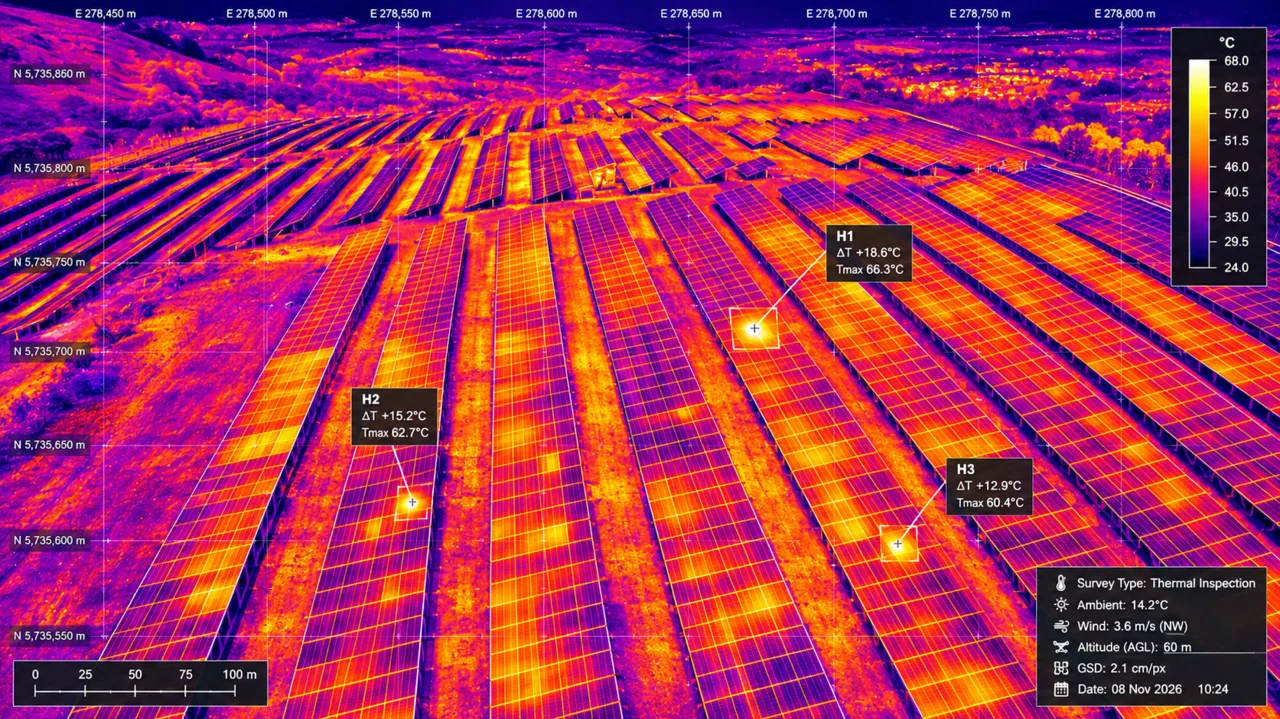
Visual imagery records surface condition and site context. Thermal imagery shows apparent temperature patterns that require suitable capture conditions and specialist interpretation.
04 / SURVEY WORKFLOW
Agree the asset, blocks, inspection questions, required references and output formats.
Review access, airspace, system operation, weather and the conditions needed for visual or thermal capture.
Fly the agreed coverage while monitoring conditions and recording relevant survey context.
Check image coverage and organise the material against the agreed array or asset references.
Supply the specified imagery, maps, annotations or report-ready files with relevant limitations.
05 / ACCURATE EXPECTATIONS
Thermal appearances can be influenced by irradiance, cloud, wind, angle, reflections, soiling, vegetation and the electrical state of the system. We agree the capture requirements and record relevant limitations.
An apparent hot spot or visual anomaly is an indication for technical review, not a standalone diagnosis. Your appointed specialist can combine the imagery with inverter data, maintenance history and electrical testing.
06 / RENEWABLE ENERGY FAQs
Tell us the site size, array layout, objective and preferred outputs.
Current services can be scoped for solar farms, large rooftop solar installations and associated visible site infrastructure. Other renewable assets are assessed individually against the inspection objective, access, airspace and safe operating method.
Yes, where the site and operating conditions allow. We divide the array into logical blocks and agree visual, mapping or thermal coverage, references and deliverables before capture.
Visual imagery records visible panel, row and site conditions. Thermal imagery records apparent temperature patterns under suitable operating and environmental conditions. Neither should be treated as a complete electrical diagnosis on its own.
Thermal patterns can help highlight modules or areas for closer investigation. Results depend on irradiance, weather, operating state, viewing geometry and other factors. Findings should be reviewed alongside system data and appropriate electrical testing.
Aerial mapping and presentation outputs can be scoped to show site context, array blocks and agreed references. Any coordinate accuracy, measurements or GIS deliverables must be specified and validated for their intended use.
Yes. Repeat capture using consistent references can support comparisons and maintenance planning. Seasonal conditions, vegetation and system operation should be considered when comparing results.
The scope may include organised RGB photographs, thermal imagery, annotated image references, orthomosaic maps, presentation-ready plans or repeat survey packs. File formats and interpretation requirements are agreed in advance.
We scope projects across England, Wales, Scotland and Northern Ireland, subject to access, permissions, safe operating conditions and scheduling.
CONNECTED SERVICES
REGIONAL PLANNING